
Precise and Responsive Surveying for Every Project
Explore our comprehensive land surveying services, dedicated to delivering accuracy and client satisfaction.
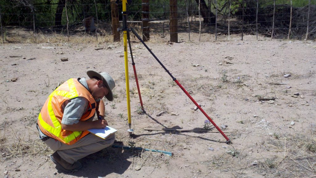
Boundary Surveys
We accurately define property lines to prevent disputes and ensure clear ownership.
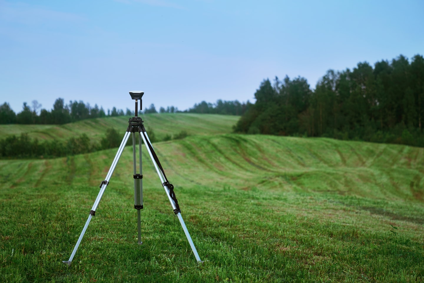
Topographic Surveys
Detailed terrain mapping to support design and construction planning.
Construction Staking
Providing precise layout services to guide your building projects with confidence.
ALTA/NSPS Surveys
Combination of boundary and planimetric services under strict national guidelines to meet lender or title agency requirements.
Records of Survey and Legal Descriptions
We prepare the legal documents you need to pursue your goals for your property.
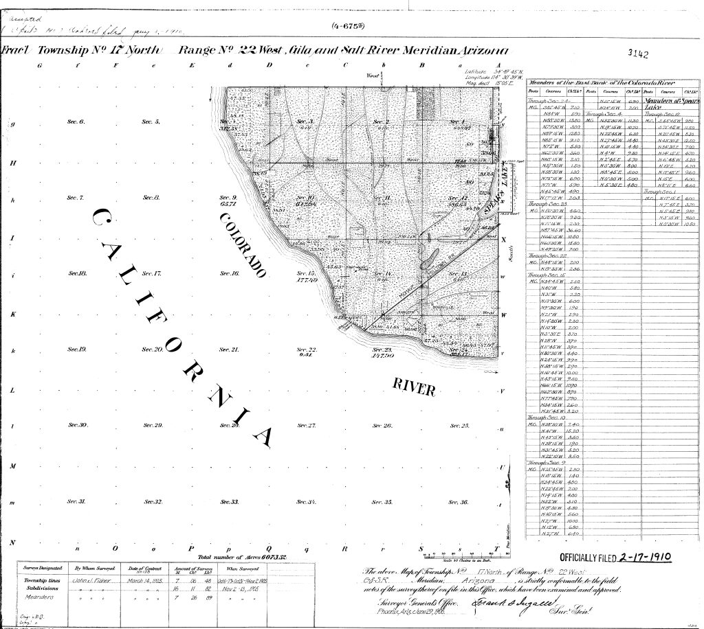
Boundary Analysis and Research
Providing expert research services to find easements and other burdens on, or rights attendant to, your property.

Drone Surveys
With our FAA Part 107 pilot license and our DJI Matrice 4E drone, we can conduct photogrammetry missions of any size with extreme precision.
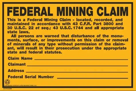
Mine Claim Surveys
Locate the corners of your claim to record with the Bureau of Land Management.
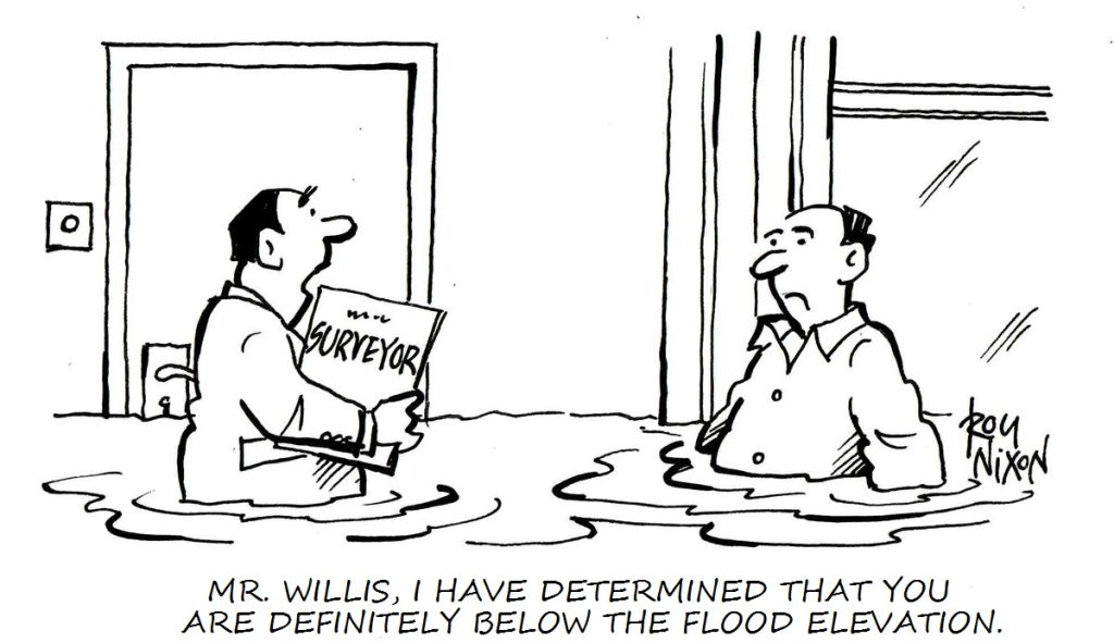
Flood Elevation Certifications
We provide quick turn-around with FEMA flood elevation surveys.